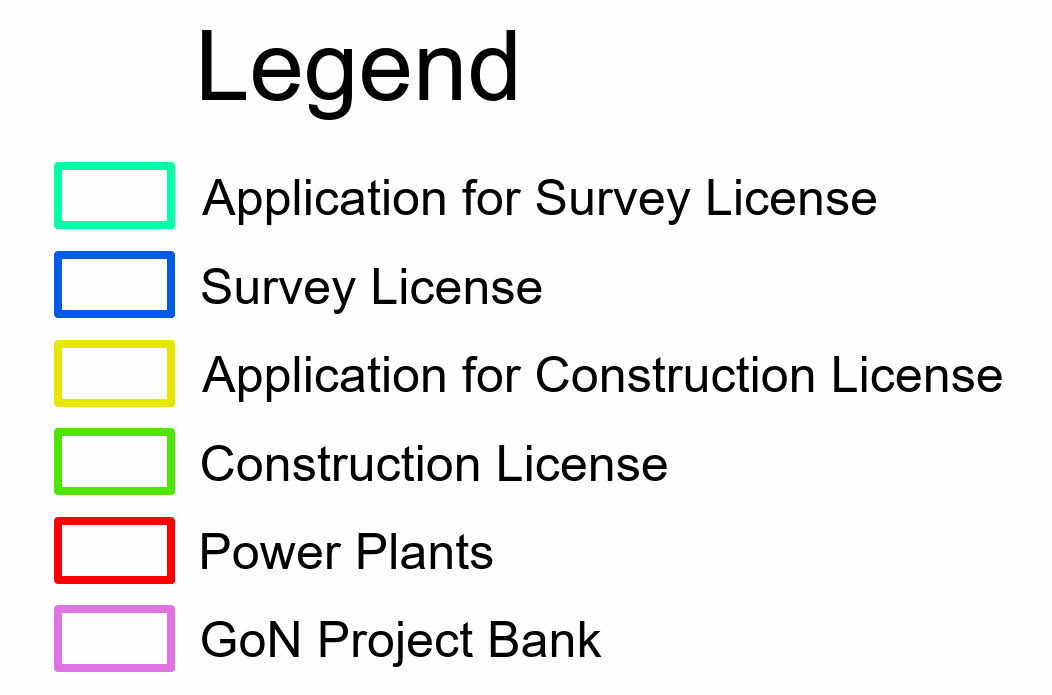
This interactive web map presents all licensed hydropower projects in Nepal, including run-of-river schemes, storage hydro, peaking run-of-river, and pumped storage projects. Data includes project capacity (MW), license boundaries, construction status, and developer information. Updated regularly with information from the Department of Electricity Development (DoED) and other official sources.
Department of Electricity Development (DoED), Nepal Electricity Authority (NEA), Survey Department, and project developers. Co-ordinates transformed from Everest 1830 to WGS 1984 datum for accurate GIS mapping.
This GIS database and WebGIS platform was developed by Er. Binaya Basnet, Civil Engineer specializing in Hydrology/Hydraulics, Climate Resilience, and GIS/WebGIS technologies.